
1. Introduction
1.1 What Geolocation does
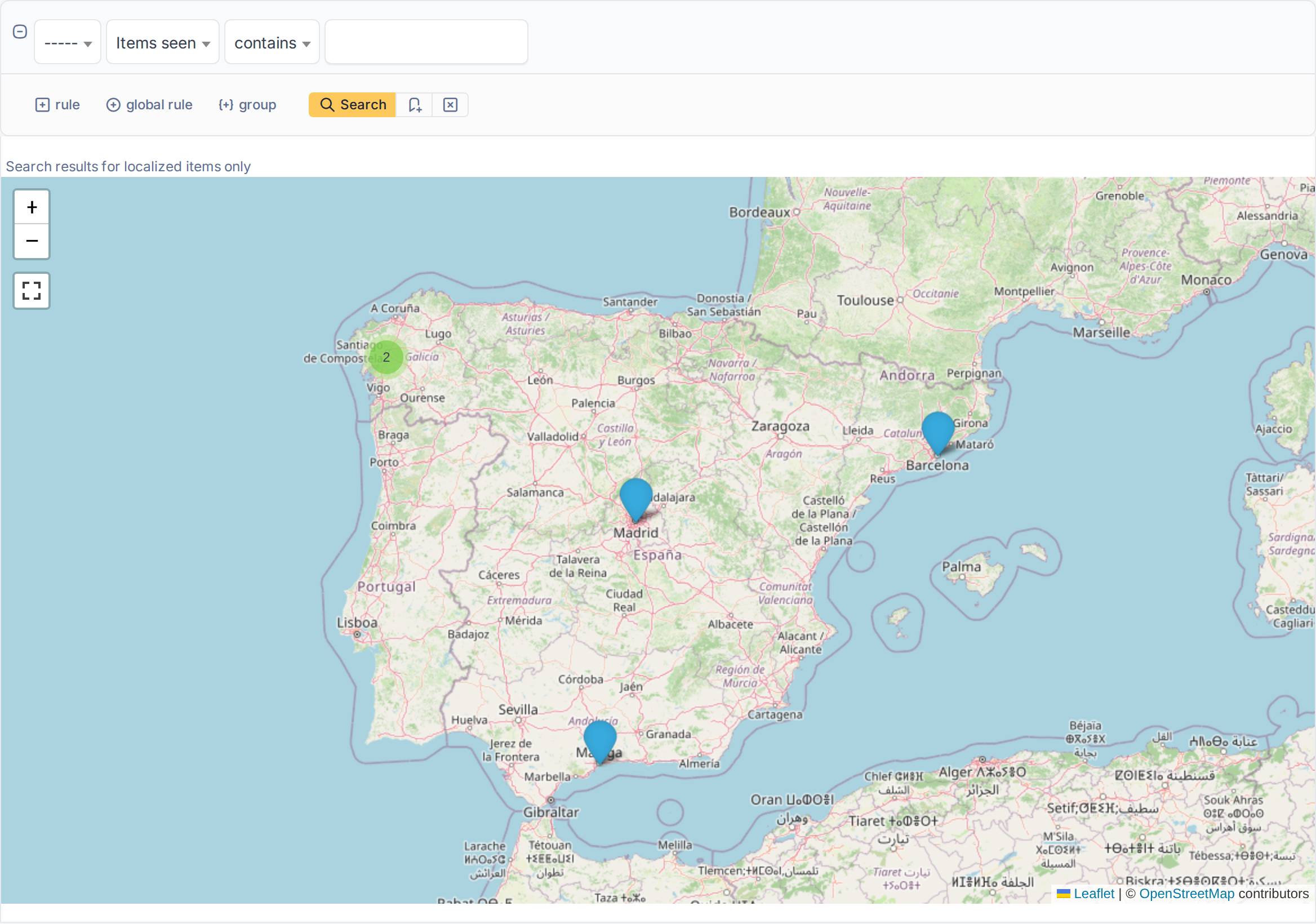
Geolocation puts GLPI items on a map. Every ticket can carry a position, and so can the types of asset you choose, such as computers: type the latitude and longitude, click the map, or let a ticket take the position of its location. Then open the map of a type to see all its items at once, filtered with the usual search form, and jump from a marker to the item.
1.2 Key benefits
- See where things are — servers, network devices or tickets on a single map, grouped when they are close together.
- Position in a click — type the coordinates or click the map, in the asset or in the ticket, with a marker that follows.
- Automatic for tickets — a ticket created with a location that has coordinates gets that position by itself.
- Choose what is located — tickets always, and the asset types you enable in a single list.
- A map that obeys the search — the criteria of the list decide which markers are drawn.
- You decide who sees it — one right per profile, with separate levels to read, create, update and remove, and a limited one for requesters.
1.3 Features
- A Geolocation tab on the item types enabled in the settings, with Latitude, Longitude and a map.
- Latitude, Longitude and a map in the form of every ticket.
- Choosing the position by clicking the map (Set location here) and a search box to find an address.
- A ticket created with a Location that has coordinates takes that position, unless coordinates are typed.
- A Geolocation link in the menu of tickets and of every enabled type, which opens the map of the type.
- The map shows only the items that match the search form, that the user can see and that have a position, with clusters and a View item link.
- The position of an item is recorded in its Historical tab.
- A Geolocation right per profile, and Geolocation of my tickets for profiles of the simplified interface.
Generated for Geolocation 3.0.0 on GLPI 12.0.2 — 2026-11-20.